| Rating | ★★★★☆(4/5) |
| Overall Difficulty | Easy |
| Navigation Difficulty | Easy |
| Distance | 0.75 miles roundtrip |
| Time | 30 minutes |
| Terrain | Mostly flat |
| Best Seasons | All |
| Family Friendly | Yes |
| Dog Friendly | Yes |
| Accessible | No |
Highlights
- See a small waterfall
- Explore the forest
Hike Summary
At a little over a half hour from downtown Omaha, Platte River State Park is a great escape from civilization. You'll enjoy this nice stroll through nature to see a quaint but cute waterfall nestled within a shady forest. Although this hike is short, the park has more activities to entertain you beyond the hike, with an observation tower with views of both Omaha and Lincoln (pictured below), the Outdoor Heritage Education Complex for practicing archery and firearm shooting, a spray park for cooling down on a hot summer day, and an amphitheater hosting free movies on summer Saturday nights.
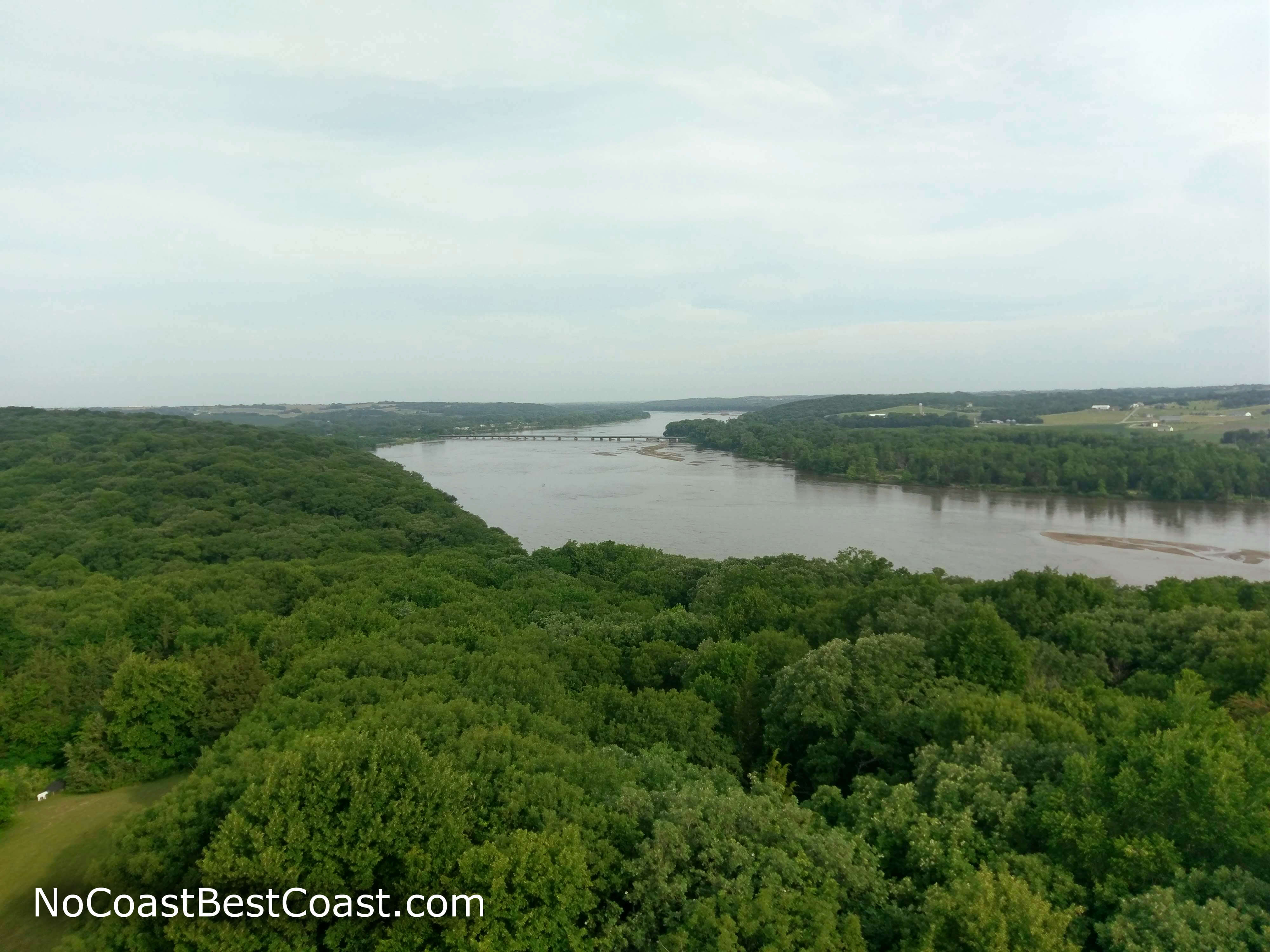
The view of the Platte River from the observation tower
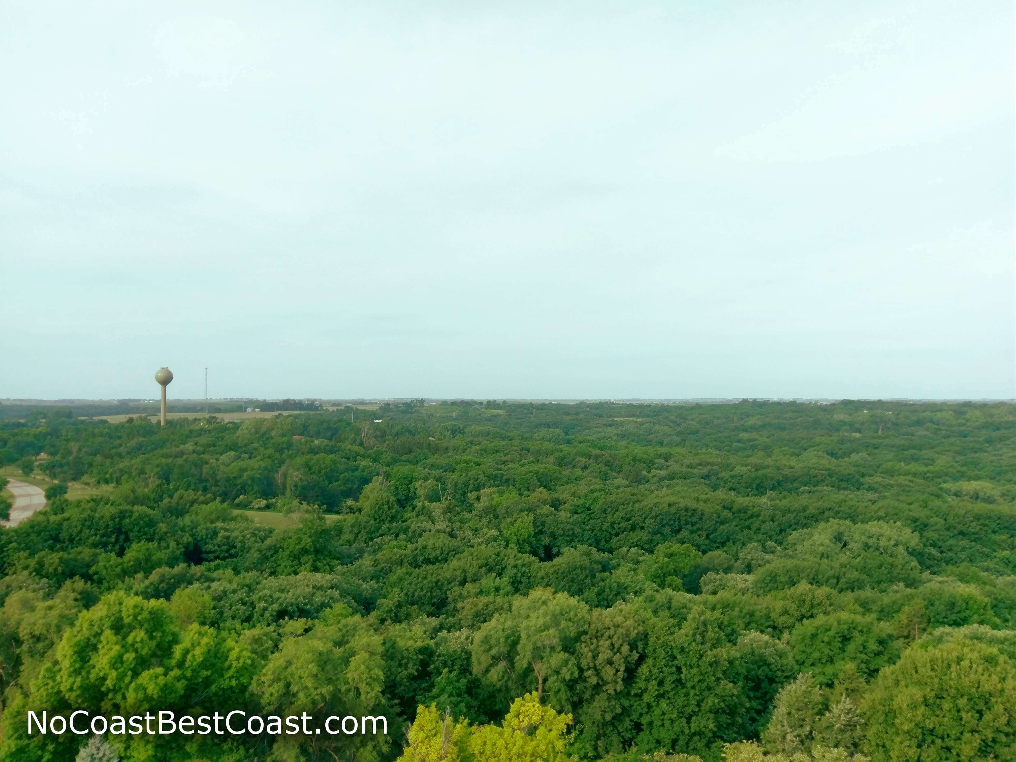
The view from the observation tower looking south-ish
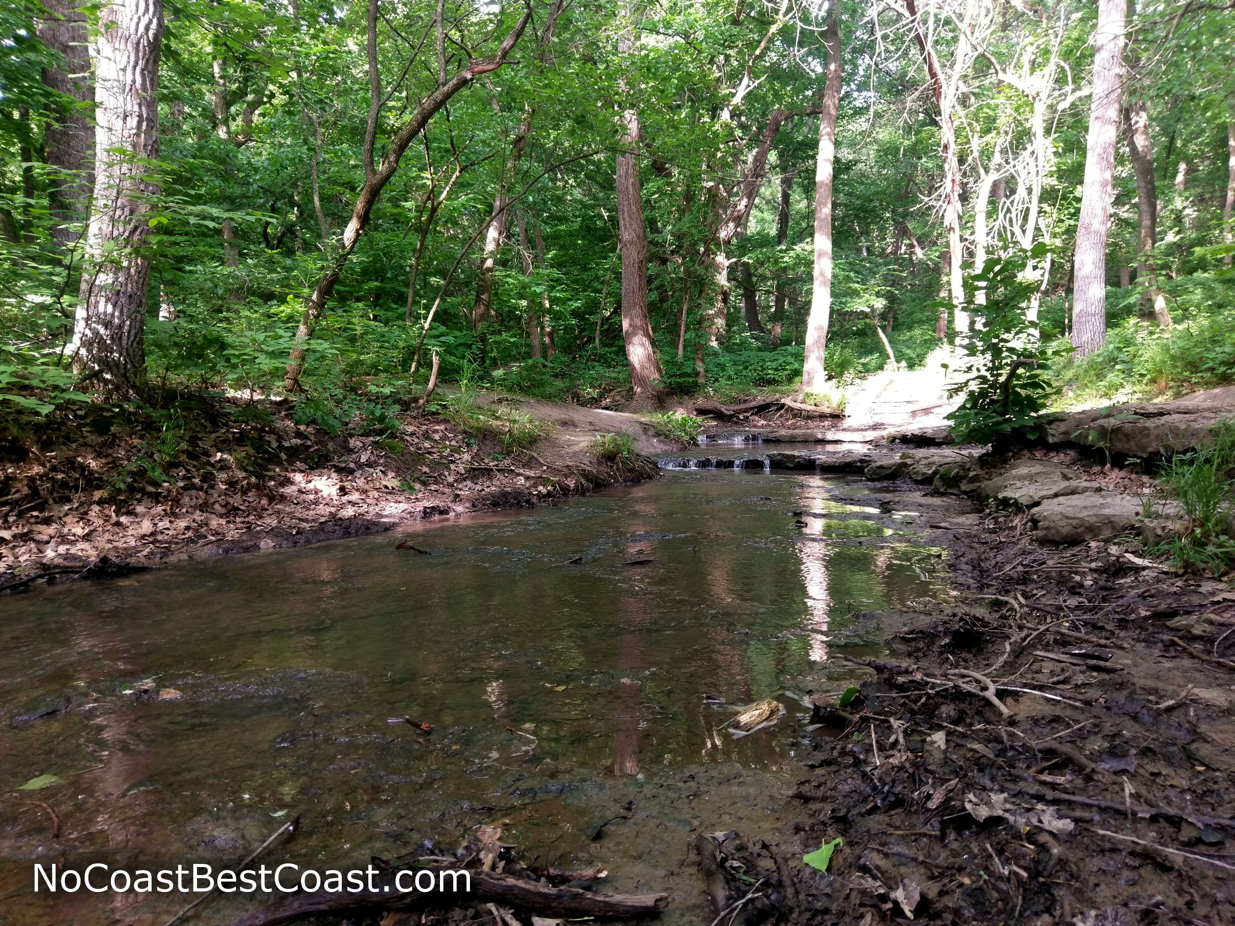
The trail follows Stone Creek as it trickles towards the Platte River
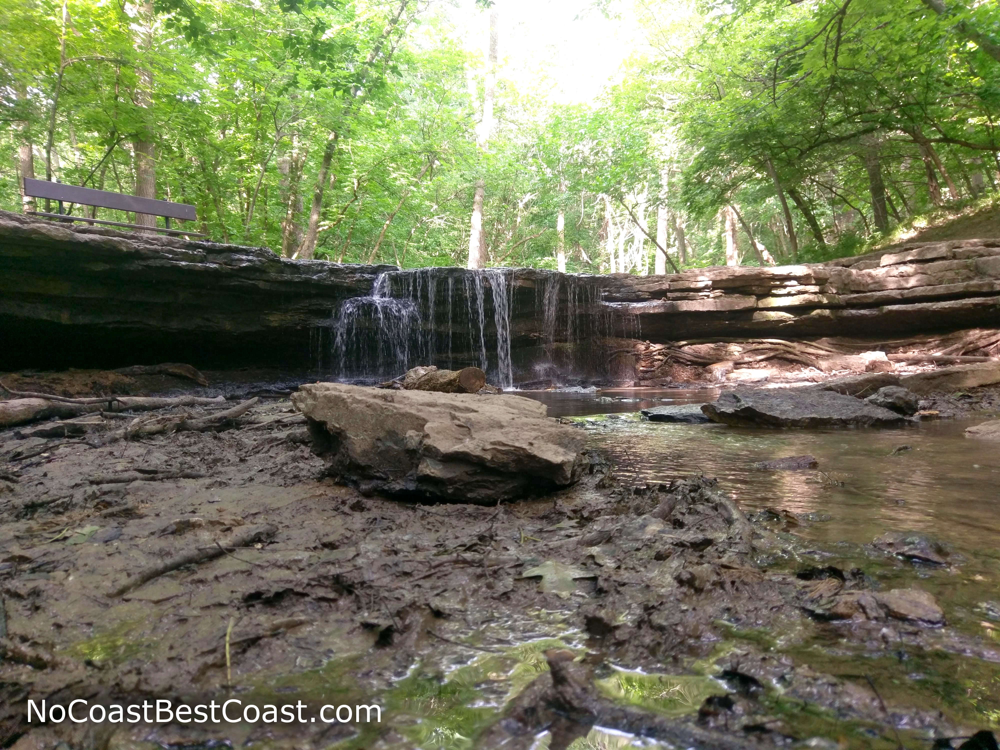
The main event: Stone Creek Falls
One annoying part of this park is that although it's named for the seemingly adjacent Platte River, all of the waterfront property is actually owned by a railroad and is therefore off-limits. For all you scofflaws out there, I will mention that there are very easy and obvious ways (as in visible from official trails) to cross the barbed wire fence delimiting the park border, allowing you to enjoy a view of the Platte River like pictured below. While this is definitely trespassing, you won't be the first one to have done so. Be careful though, the railroad is active and heard a train passing while I was hiking above in the nearby hills.
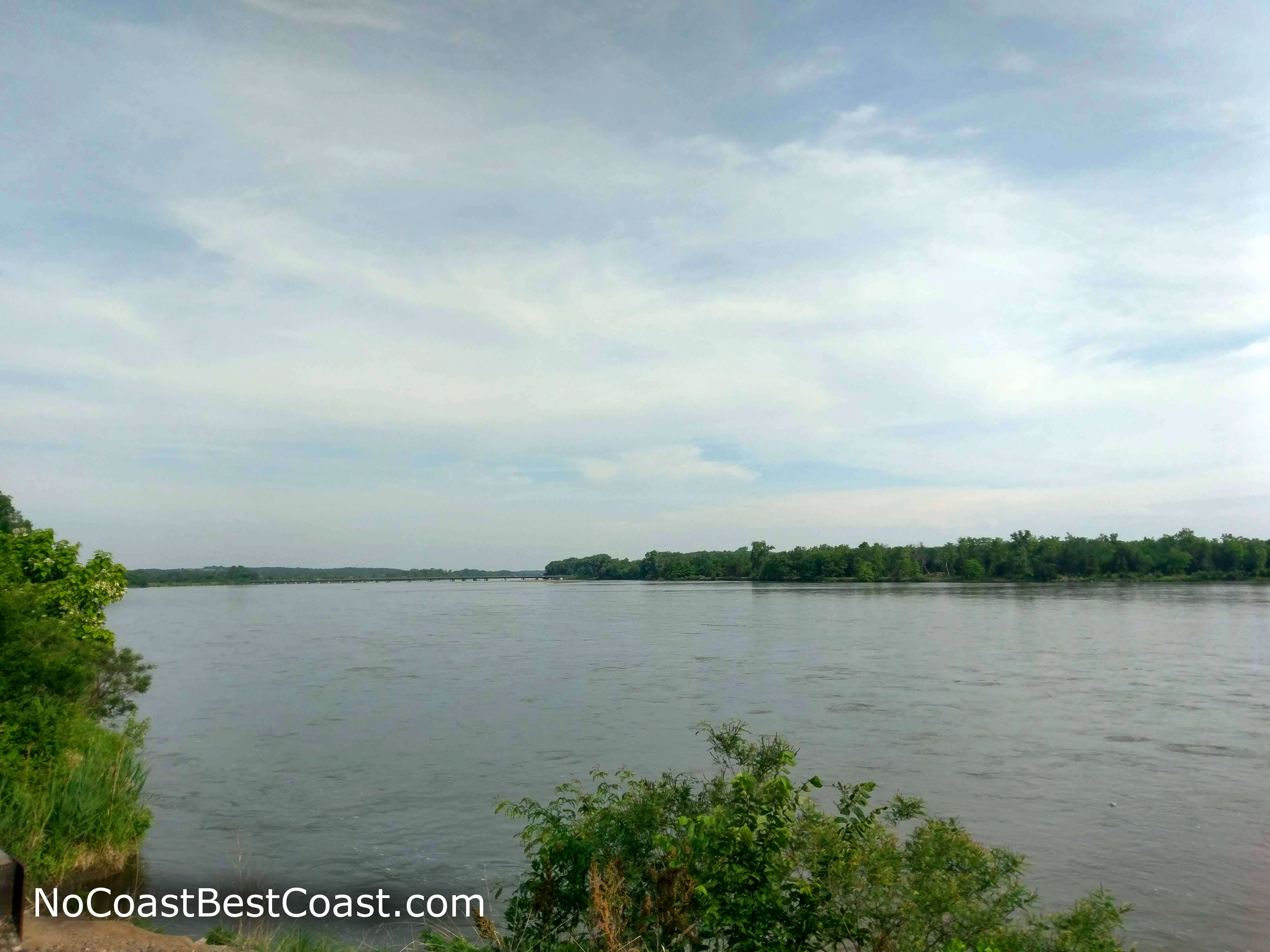
The (forbidden) view of the wide expanse of the Platte River
Important Information
Dogs are allowed on leash. This flat, short hike is great for the whole family, and your kids will enjoy splashing around in the creek near the falls on hot summer days. You can hike this trail year round, and fall is especially beautiful here. This is one of the most popular destinations in the park, so expect to share the trail with others unless you wake up extra early.
Directions
From Omaha, take Interstate 80 west towards Lincoln, then take the exit for Nebraska Highway 50 and head south. Follow Nebraska Highway 50 across the Platte River to Louisville, then turn right on Nebraska Highway 66 about a mile after the town. Look for the signs for Platte River State Park and turn right. If you need to purchase a park permit, turn right at the T intersection and then turn left into the park headquarters lot; simply turn left at the T intersection if you already have a permit. After purchasing your permit, turn right on the main road and continue straight past the park entrance road and look for the parking lot on the right at the bottom of the hill.
Google Maps Directions
Parking, Fees, and Facilities
A Nebraska Park Permit is required, and you can purchase one at the park headquarters when you arrive. You can also buy your park permit online and print it at home by visiting the Nebraska Game and Parks website -- especially handy if you want to hike before or after the headquarters is open. Permits are $6/day or $31/year for Nebraska licensed vehicles or $8/day or $46/year for out of state vehicles. There are bathrooms located near this paved lot.