| Rating | ★☆☆☆☆(1/5) |
| Overall Difficulty | Easy |
| Navigation Difficulty | Easy |
| Distance | 1 mile roundtrip |
| Time | 30 minutes |
| Terrain | Mostly flat |
| Best Seasons | All |
| Family Friendly | Yes |
| Dog Friendly | Yes |
| Accessible | No |
Highlights
- Man-made waterfall
- Sandy beach along the Mississippi River
Hike Summary
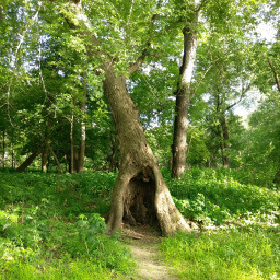
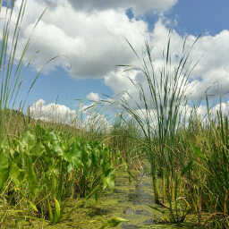
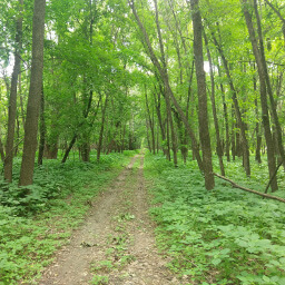
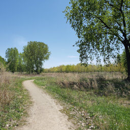
Before I came here, I never saw any pictures and decided to go based on the cool idea of a hidden waterfall. Now you have photos so you won't make this mistake. This is not a waterfall, this is some city engineer's creative storm drain project. Don't let the official St. Paul website calling it a "scenic falls area" or someone else's oversaturated Instagram photo persuade you otherwise. For a much better, more beautiful hiking experience, head to Crosby Farm Regional Park a little further south on Mississippi River Boulevard.
From the parking lot, walk past the picnic area and look for the opening in the trees across the grass. Go straight and stay to the right until you reach the "falls". Stop for a second to look at the drainpipe sticking out of the rocks dribbling water into the stepped concrete basins, as pictured below. More adventurous types might even dare to climb to the top of the falls to get a view from above like in the second picture below.
Important Information
Dogs are allowed on leash. Your kids might actually enjoy this hike, especially if you let them climb on and play in the man-made features here. If you do the entire hike and not just the walk to the "waterfall", wear bug spray -- I was surprised at how many mosquitos were eating me in such a short period of time. This is the middle of St. Paul and Minneapolis on a major bike path, so expect to see other people near the "falls"; the rest of the trail won't be nearly as busy however. You should be able to access the "falls" year round (and they might actually be interesting when they are frozen), but the website is unclear whether or not the trail is maintained in winter. Given that this is an urban trail, the amount of foot traffic here should help define winter trails except after a snowfall.
Directions
By Bike
This is an excellent destination for arriving by bike, and there is even a Nice Ride Bikeshare station in the parking lot for this hike. You can access Hidden Falls Regional Park from the Mississippi River Boulevard bike trail; this trail connects to Downtown St. Paul all the way to Northeast Minneapolis and connects with many of the main bike trails throughout the Twin Cities. The entrance is near the Ford Site (there is another entrance near Prior Avenue, but this takes you to a different part of the park). Head downhill on the bike trail on the right side of Hidden Falls Drive. Once you finish hiking, there is a nice trail next to the river that leads to Crosby Farm Regional Park (unfortunately there is no way to avoid riding uphill to get home).
By Transit
Metro Transit Bus Line 46 and 134 both stop on the corner of Cleveland Avenue and Magoffin Avenue. It is a ten minute walk to the trailhead. Head west on Magoffin Avenue, then cross the street at Mississippi River Boulevard and turn right. Turn left to head downhill on Hidden Falls Drive until you reach the picnic area.
By Car
The park entrance on Hidden Falls Drive is near the Ford Site on Mississippi River Boulevard, south of Ford Parkway and north of Cleveland Avenue (there is another entrance near Prior Avenue, but this takes you to a different part of the park). Park in the first parking lot on the right near the covered picnic area (there is plenty of parking a little further if this is full, you just have to walk a bit). Use the directions link below for specific navigation from Google Maps.
Google Maps Directions
Parking, Fees, and Facilities
Parking is free! There are bathrooms and a covered picnic area near the lot.
Nearby Hikes

Fort Snelling State Park, Minnesota
★★★★☆(4/5)

Crosby Farm Regional Park, Minnesota
★★★★☆(4/5)

Minnesota Valley National Wildlife Refuge, Minnesota
★★★★☆(4/5)

Bruce Vento Nature Sanctuary, Minnesota
★★★☆☆(3/5)


