| Rating | ★★★★☆(4/5) |
| Overall Difficulty | Easy |
| Navigation Difficulty | Easy |
| Distance | 2 miles roundtrip |
| Time | 1 hour |
| Terrain | A few hills |
| Best Seasons | Spring, Fall, Winter |
| Dog Friendly | No |
| Accessible | No |
Highlights
- White gypsum sand dunes
- Some of the best views of the Guadalupe Mountains in the park
Hike Summary
Although the Salt Basin Dunes are over an hour away from the main part of Guadalupe Mountains National Park, the trip is worth the extra travel. Not only can you enjoy the white sands of this unique gypsum dunefield (similar to White Sands National Monument in nearby New Mexico), the Salt Basin Dunes have one of the best views of the mighty Guadalupe Mountains soaring 3,000 feet above the desert floor. Don't miss this special place when you visit Guadalupe Mountains National Park!
The hike begins by following the old road to the dunes. The Guadalupe Mountains create a dramatic backdrop, as pictured below (this is one of my favorite pictures from my entire trip to this national park). In the distance, you can see the subtle rise of the dunes.
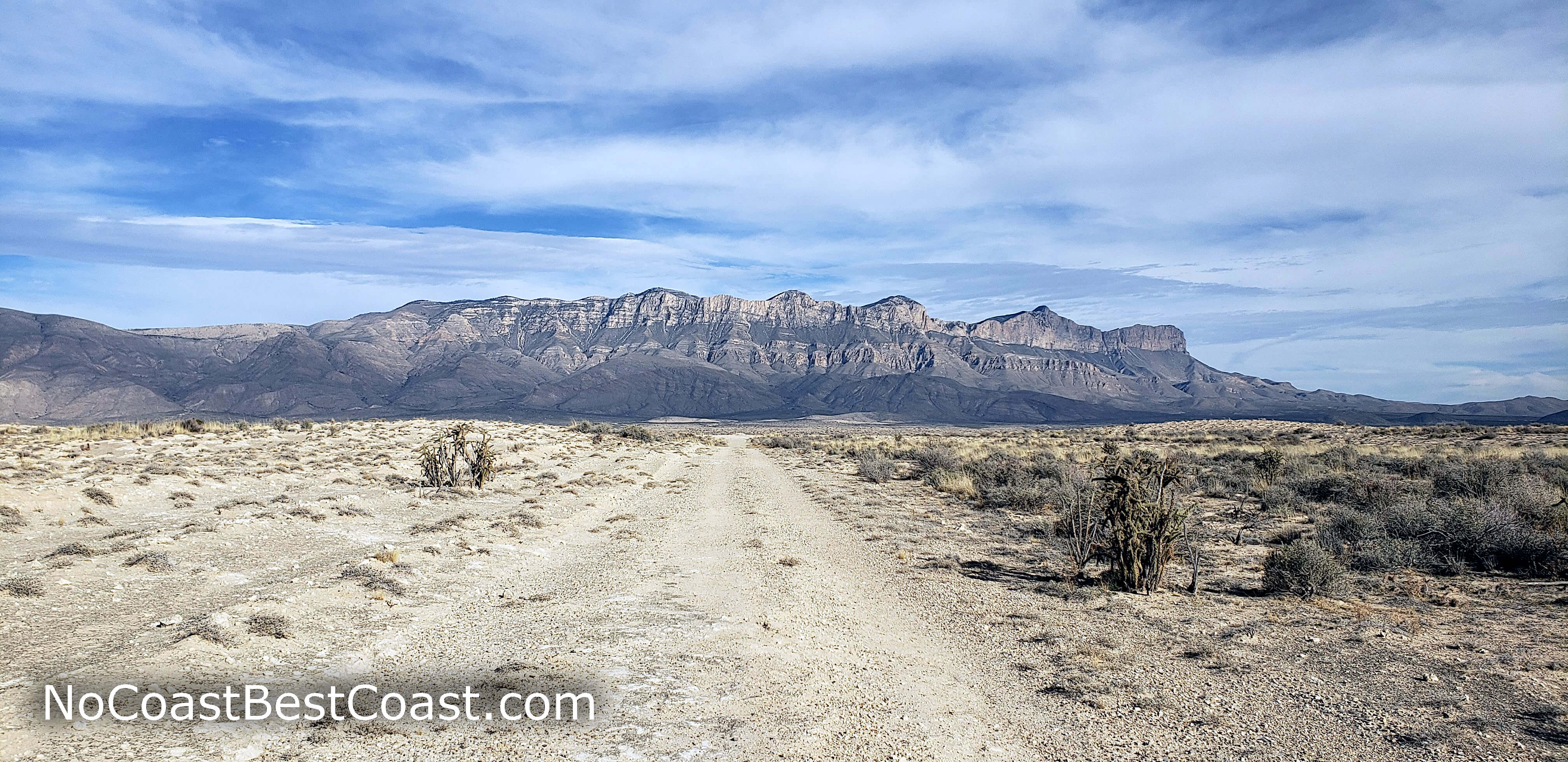
The Guadalupe Mountains rising above the desert as seen from the old road
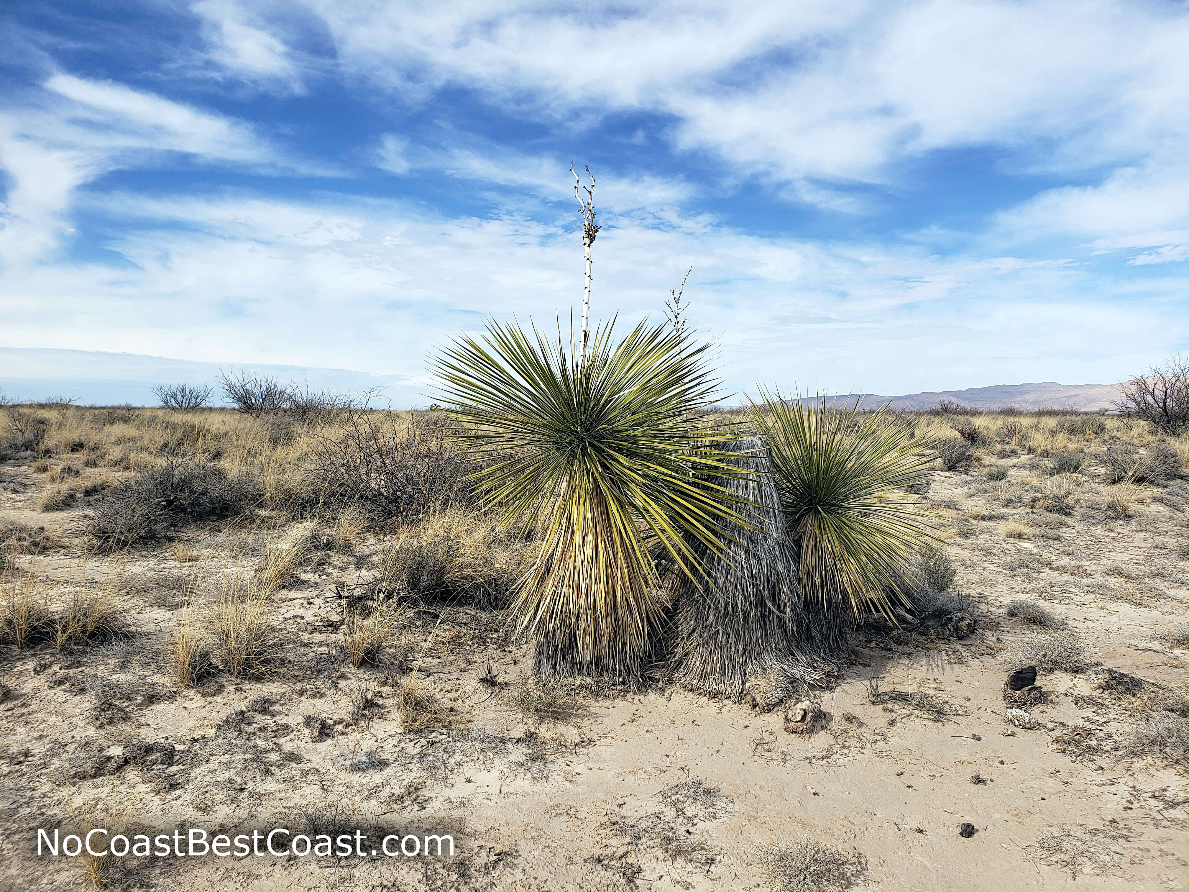
Yucca is the most iconic plant of the Chichuahuan Desert
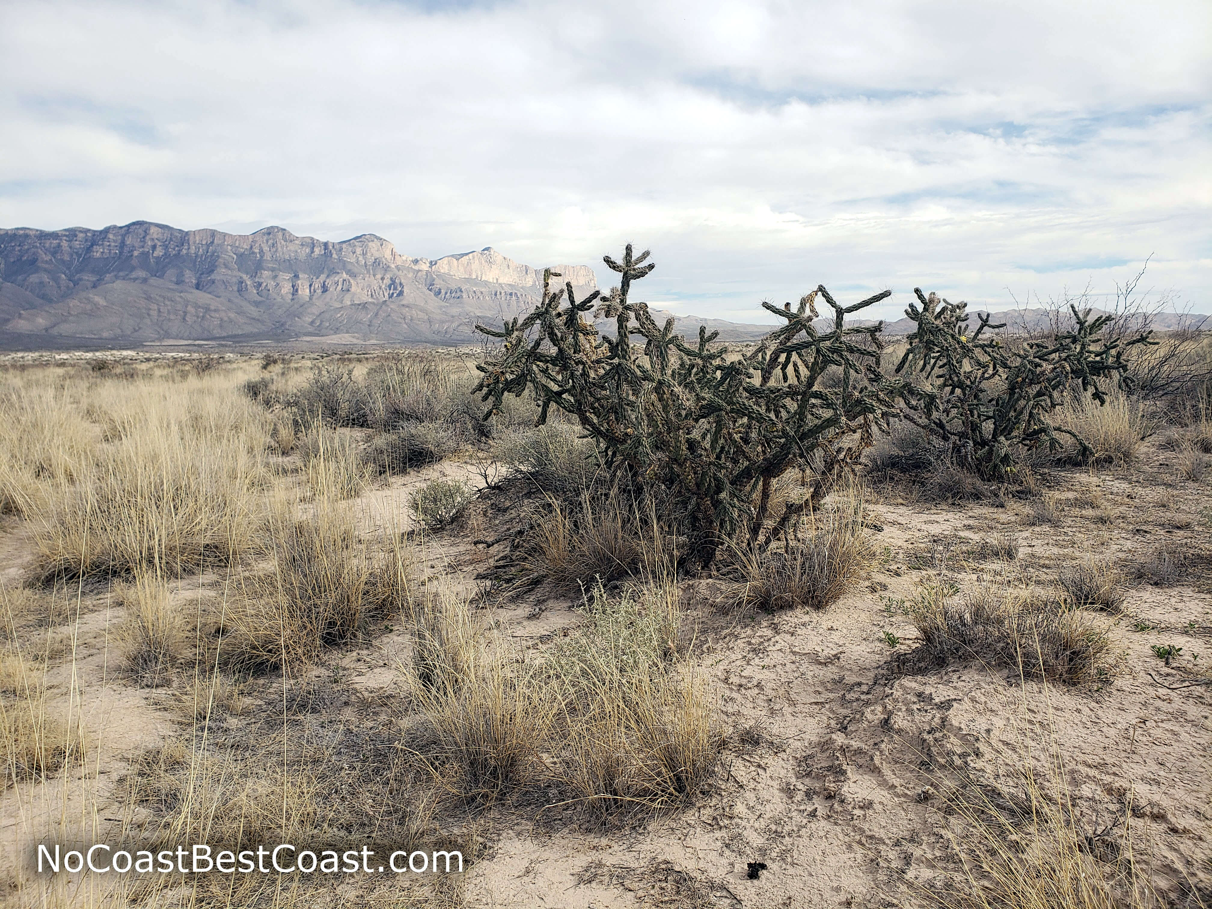
Staghorn cholla is one common variety of cactus in the Chihuahuan Desert
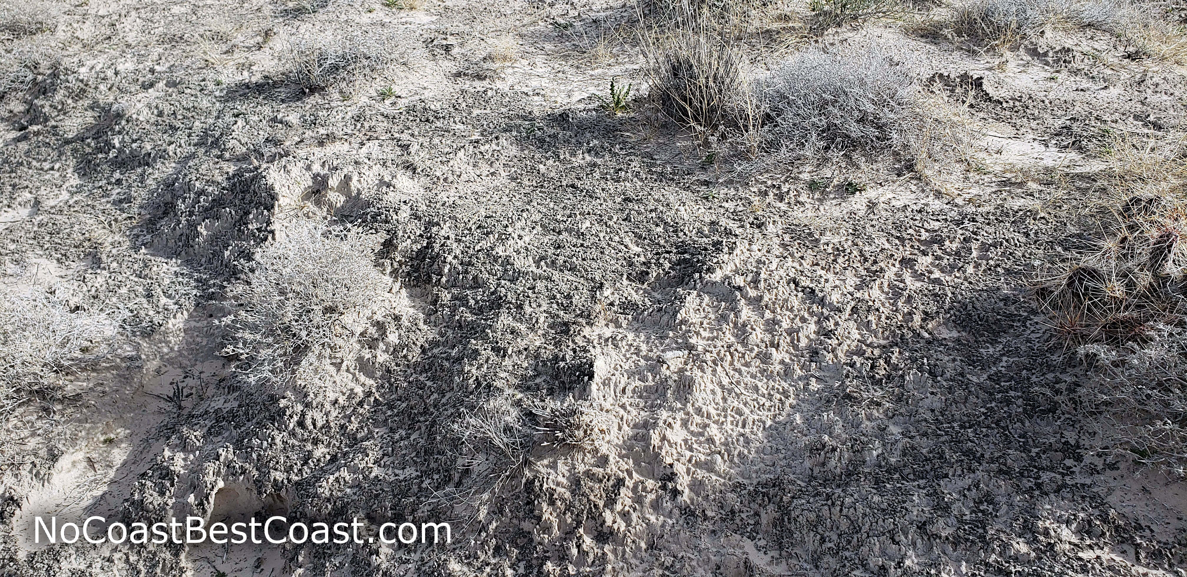
Cryptobiotic crust is a unique feature of the desert soil
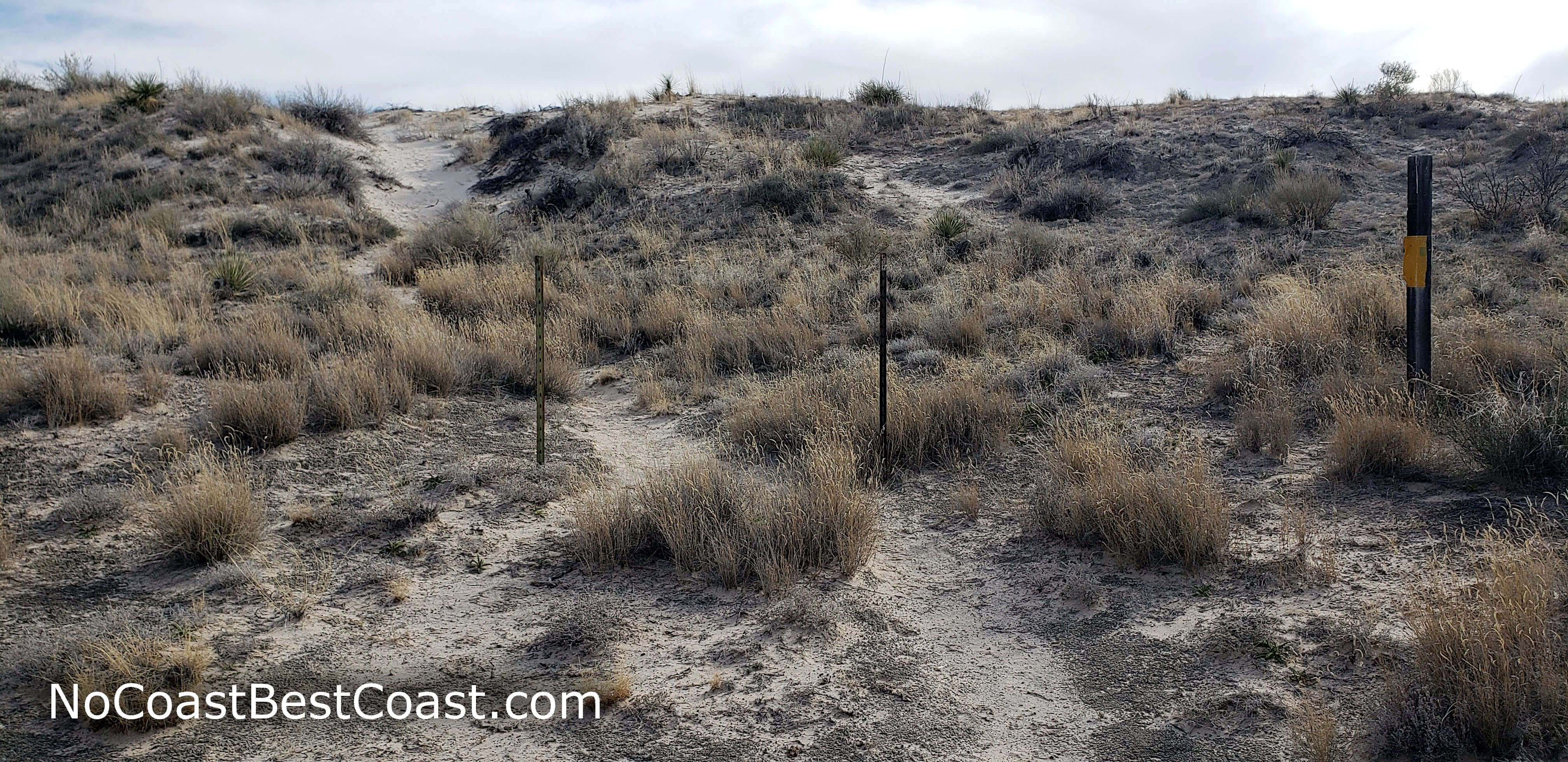
These poles indicate the route to the dunes

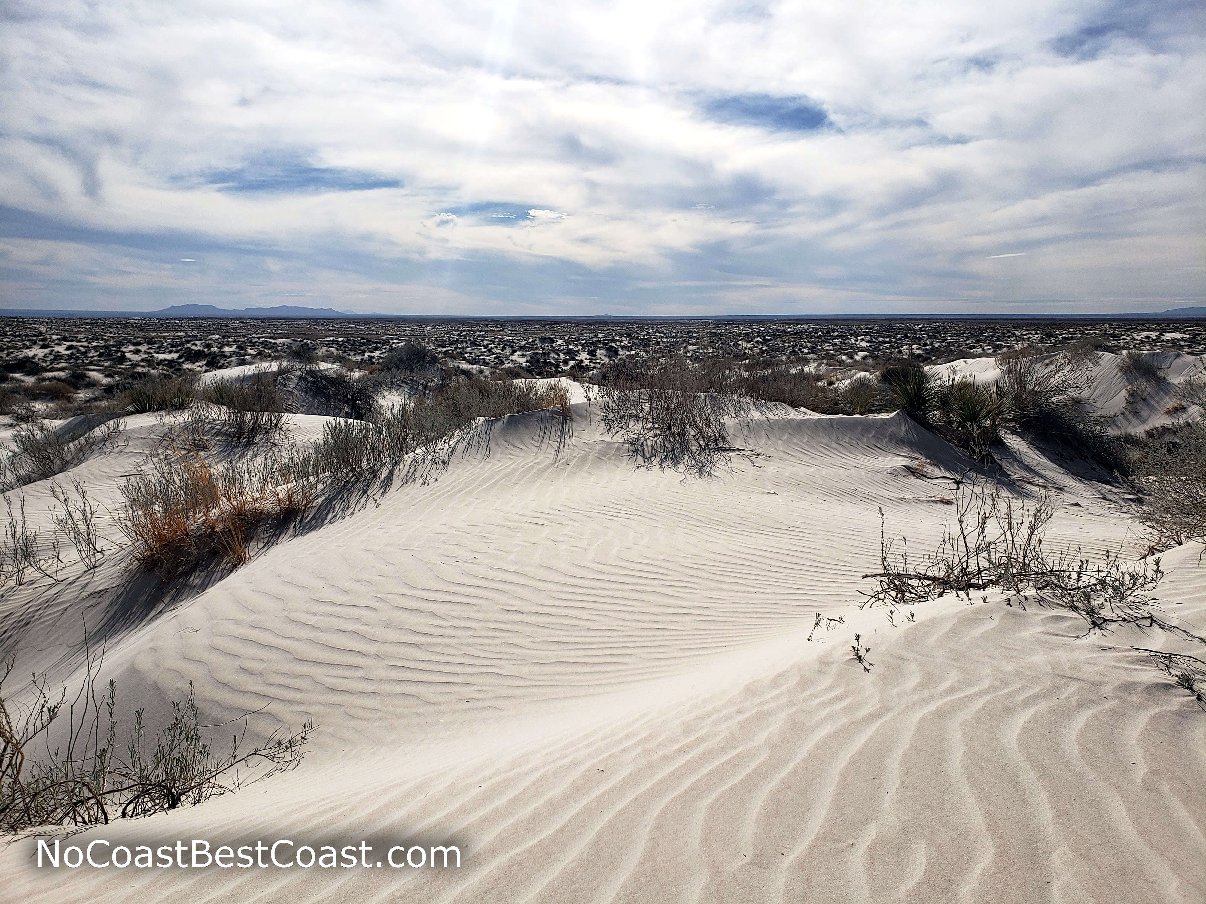
The white gypsum dunes with the Guadalupe Mountains beyond
Waves in the untouched sand dunes
Hiked on Thursday, February 14th, 2019 by Ricky Holzer
Important Information
Like most national parks, dogs are not permitted on any trails in Guadalupe National Park. This is a fun trail for kids: after a short mile, they can play on the dunes while you enjoy incredible views. Spring, fall, and winter are the best seasons for this hike, which should be avoided during hot summer days -- there is absolutely no shade anywhere and temperatures regularly top 100 degrees. No matter the season, you must bring ample water (none is available anywhere nearby) and wear sun protection. Beware of rattlesnakes, and be sure to stay on the trail until you reach the dunes. Since this trail is over an hour from the main part of the park, not as many people visit it.
Directions
From El Paso, take U.S. Highway 180/62 east out of town. After about an hour and a half, turn left onto Ranch Road 1437 towards Dell City. Turn right onto Broadway Street/FM 2249, then turn right onto Ranch Road 1576. Turn left onto Williams Road, indicated by a brown sign for Guadalupe Mountains National Park. Continue straight on the narrow dirt road (manageable in a sedan), going slowly in case another car is coming. The road dead ends at the parking lot.
From the Pine Springs Visitor Center, take U.S. Highway 180/62 west. Turn right onto Ranch Road 1576. Continue on this road as it bends left and right, then turn right onto Williams Road, indicated by a brown sign for Guadalupe Mountains National Park. Continue straight on the narrow dirt road (manageable in a sedan), going slowly in case another car is coming. The road dead ends at the parking lot.
Google Maps Directions
Parking, Fees, and Facilities
Park entrance fees are $7 per person aged 16 and older and are valid for 7 days. Fees are payable either at the trailhead in cash only using provided envelopes or at the visitor center using card or cash. Annual passes for Guadalupe Mountains National Park are available for $30 and admit the pass holder plus 3 others. All interagency passes are also accepted and admit the pass holder plus 3 people. More information about fees and passes is available on the park's website. Park staff regularly patrol the lot, so don't forget to pay your fee!
The trailhead has pit toilets and picnic tables but no water.
Nearby Hikes
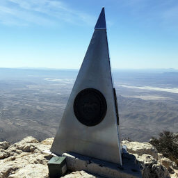
Guadalupe Mountains National Park, Texas
★★★★★(5/5)
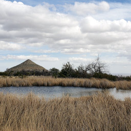
Guadalupe Mountains National Park, Texas
★★★★☆(4/5)
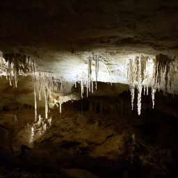
Carlsbad Caverns National Park, New Mexico
★★★★★(5/5)
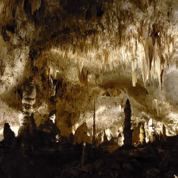
Carlsbad Caverns National Park, New Mexico
★★★★★(5/5)