| Rating | ★★★★★(5/5) |
| Overall Difficulty | Easy |
| Navigation Difficulty | Easy |
| Distance | 0.5 miles roundtrip |
| Time | 30 minutes |
| Terrain | Mostly flat |
| Best Seasons | Spring, Summer, Fall |
| Family Friendly | Yes |
| Dog Friendly | Yes |
| Accessible | No |
Highlights
- Amazing views of the surrounding Allegheny Mountains
- Unique plants in an alpine-like environment
Hike Summary
Despite a height of less than a mile above sea level, the 4863-foot Spruce Knob provides a real mountaintop experience. As you ascend the winding mountain roads and temperatures start to drop, you will notice how the flora transitions from the typical broadleaf trees of Appalachia to a deep, dark spruce forest. A quick hike on the Whispering Spruce Trail will quickly reward you with sweeping views of the Allegheny Mountains. This tallest mountain in West Virginia is also the highest place between Mount Rogers of Virginia and the Adirondacks of New York.
Much like the Appalachian state highpoints in North Carolina, South Carolina, Georgia, and Tennessee, attaining the summit of Spruce Knob mostly involves driving and a short hike. Unlike those other highpoints, the only uphill hiking involved here is the stairs you'll climb up the observation tower. To start the hike, follow the signs for the Whispering Spruce Trail from the parking lot. The well-graded gravel trail travels through the forest as pictured below.
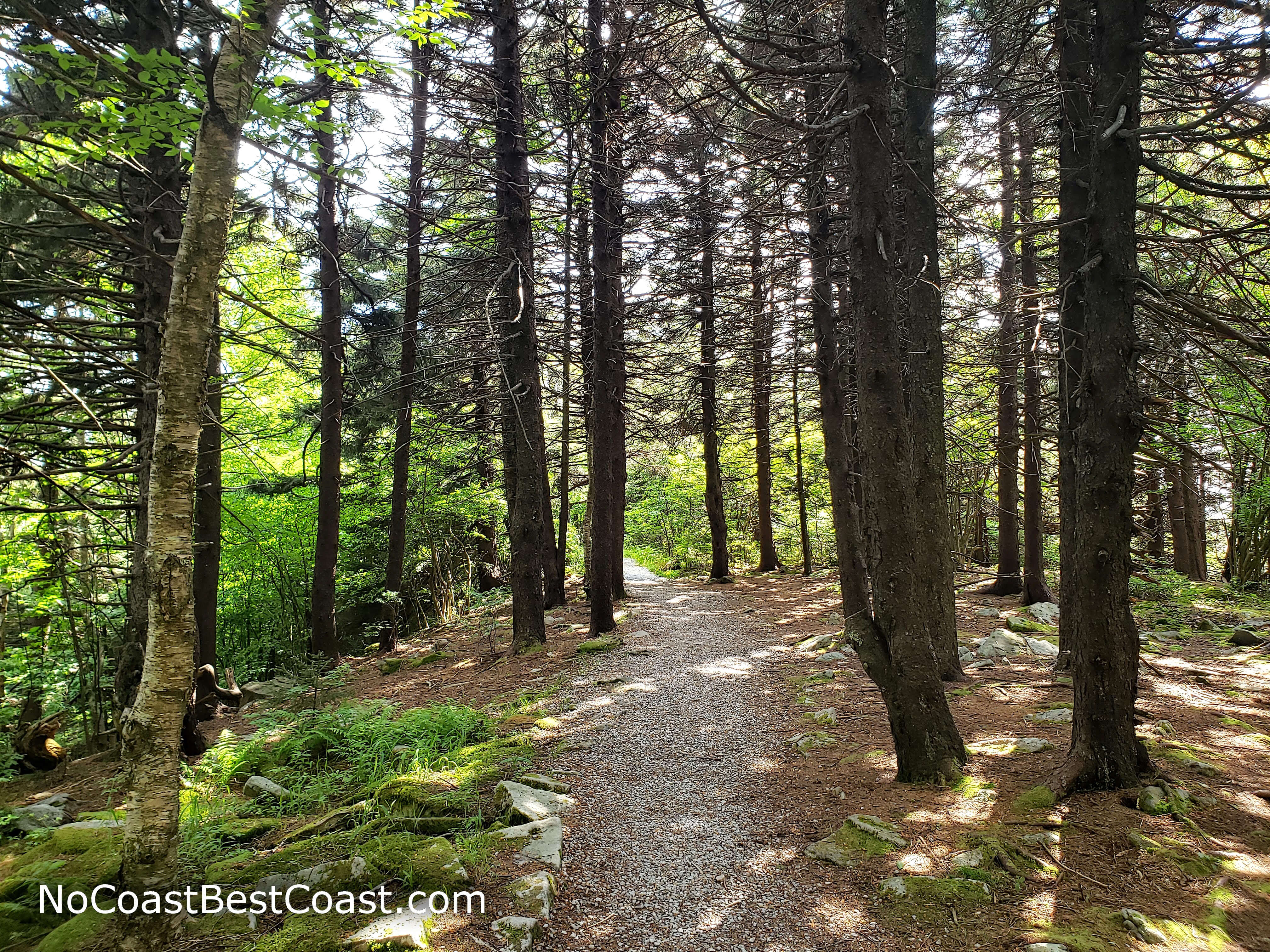
Spruce trees line the trail on the summit of Spruce Knob
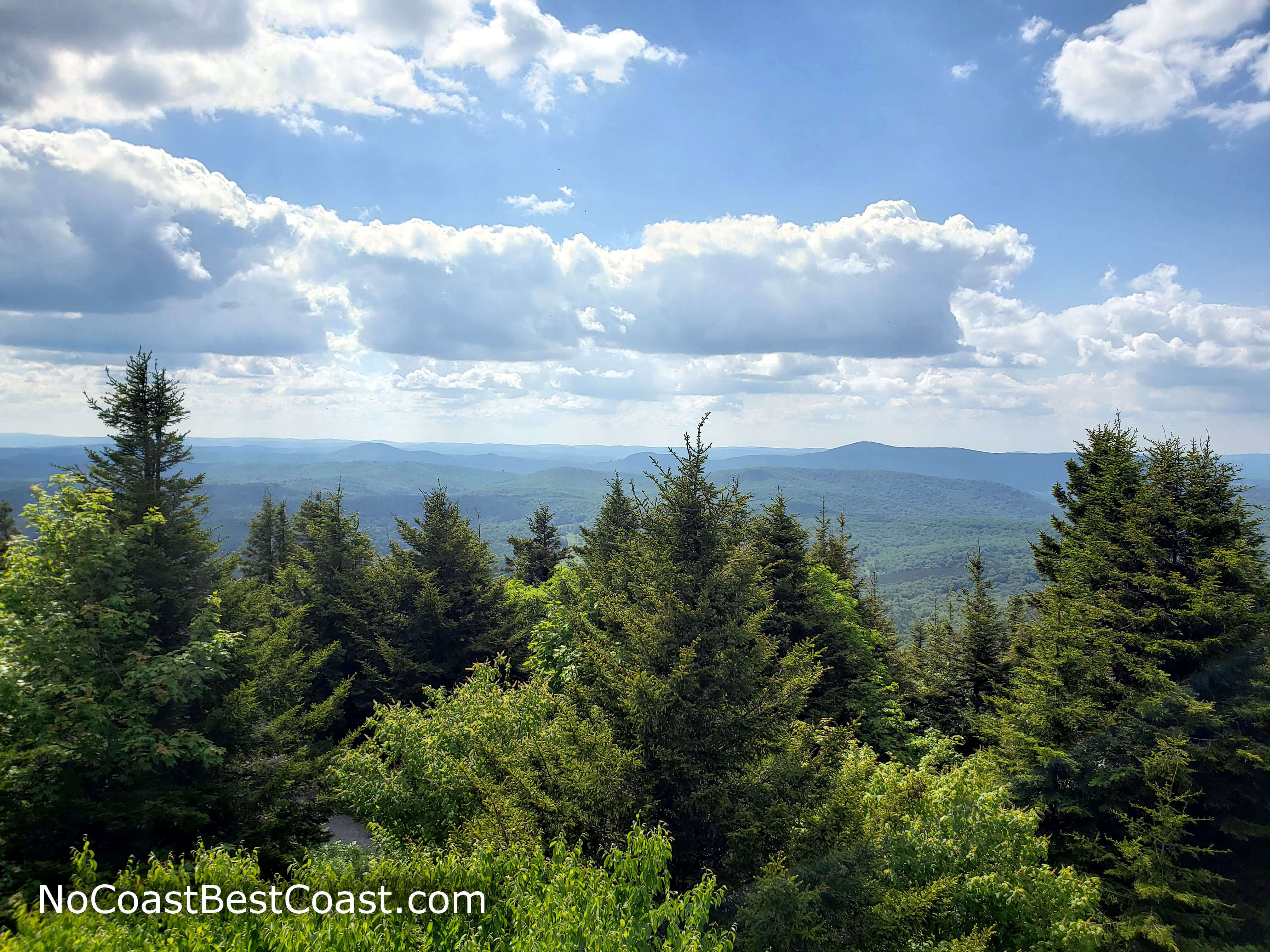
The view from atop the observation tower on Spruce Knob
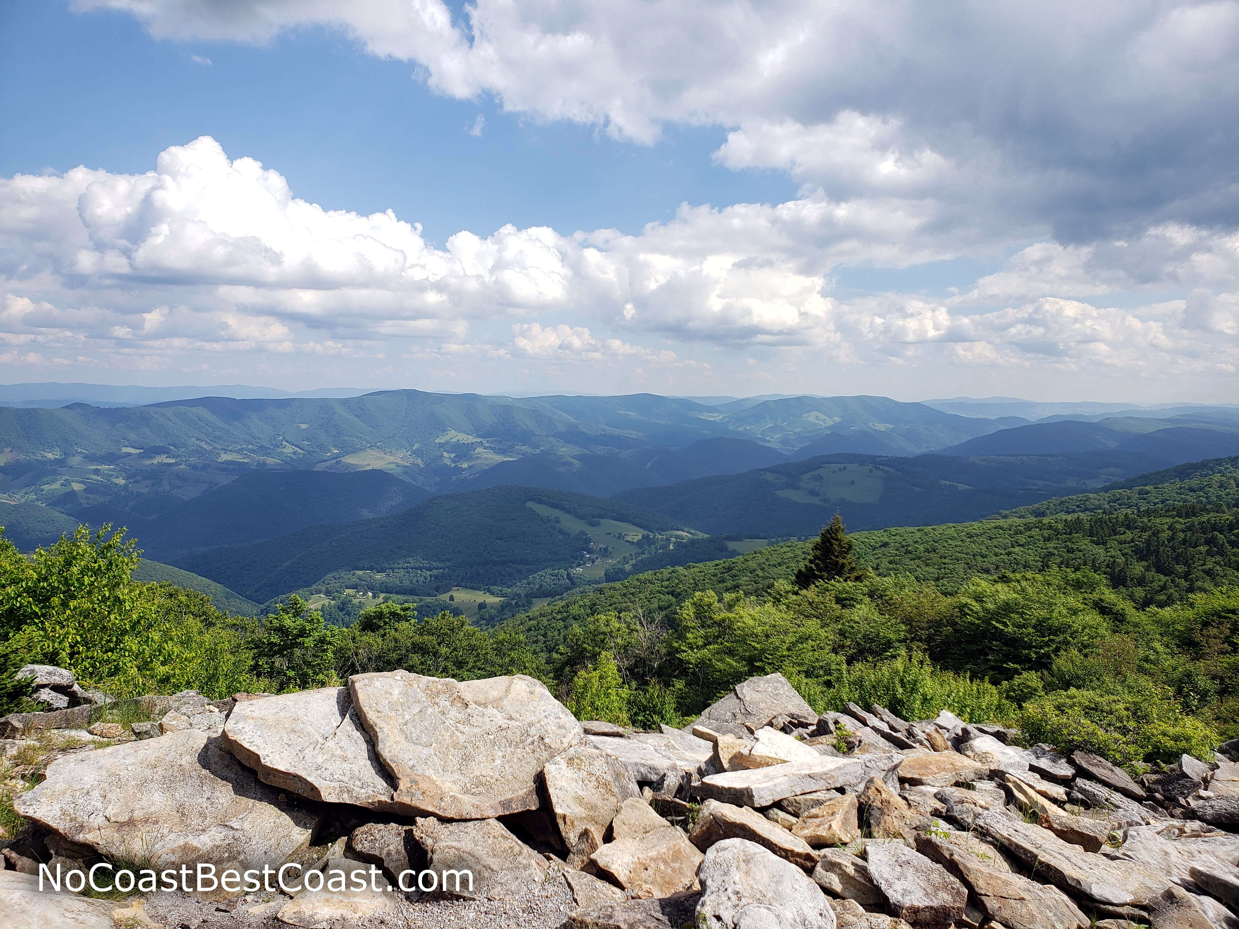
Views from the southernmost point of the Whispering Spruce Trail

Windswept trees and jagged rocks on the summit of Spruce Knob
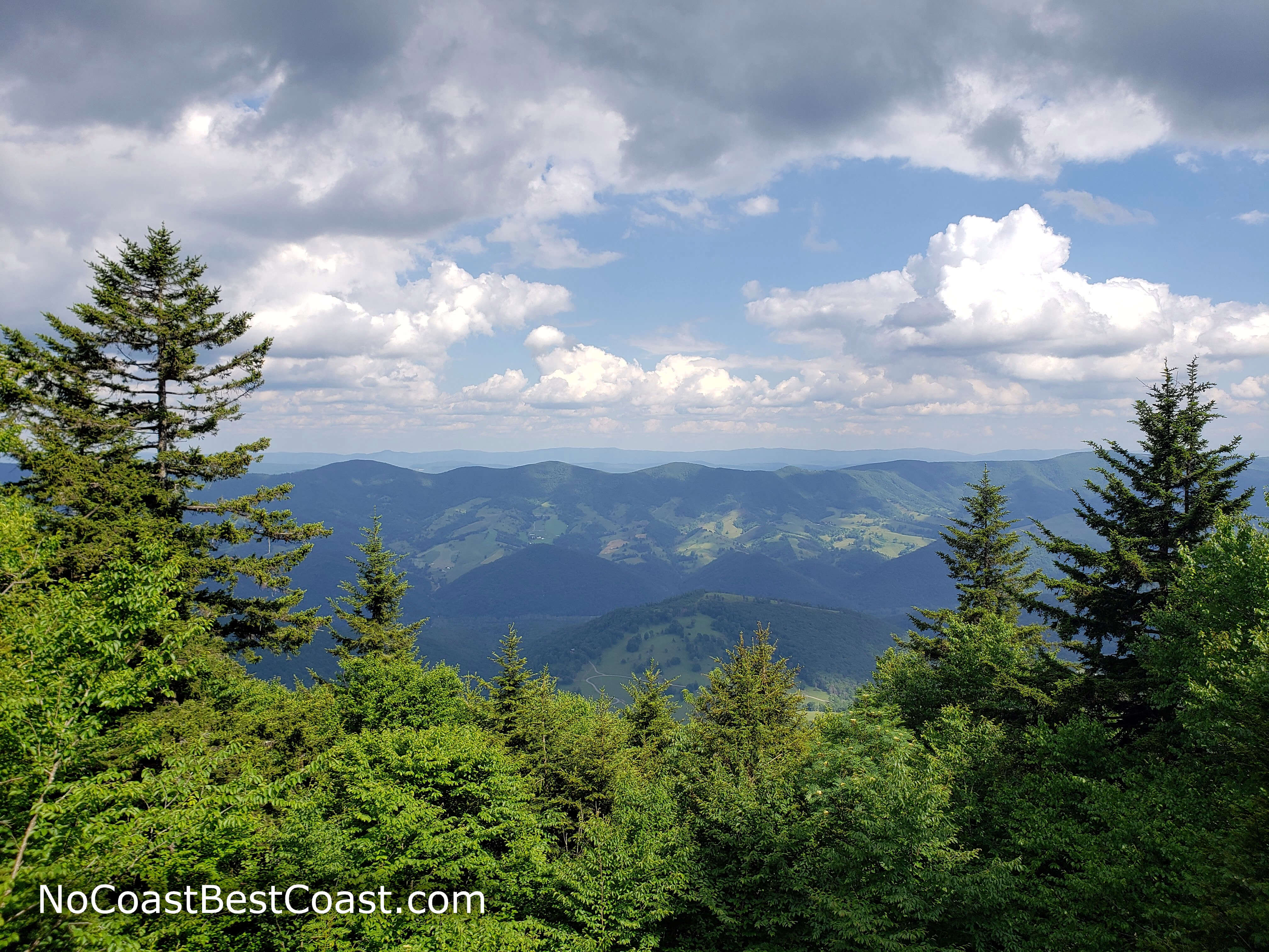
Views to the east from Spruce Knob
Important Information
Dogs are allowed on leash. This is a short, mostly flat, and family-friendly trail that almost anyone can hike. You can visit in spring, summer, and fall, but winter conditions make the roads to the top impassible. Expect to see people when you visit.
Directions
Spruce Knob isn't particularly close to any major cities, so use the Google Maps link below to navigate. Wherever you're coming from, the route will be beautiful and involve driving on some winding, narrow mountain roads as you get closer. Note that this part of West Virginia is within the National Radio Quiet Zone, so don't expect to have cell service. I highly recommend downloading Google Maps for offline use.
Google Maps Directions
Parking, Fees, and Facilities
Parking is free! There are pit toilets and a picnic area with grills near the parking lot.