| Rating | ★★★☆☆(3/5) |
| Overall Difficulty | Moderate |
| Navigation Difficulty | Easy |
| Distance | 3.4 miles roundtrip |
| Time | 1.5 hours |
| Terrain | Hilly, 200 feet of elevation gain |
| Best Seasons | All |
| Family Friendly | No |
| Dog Friendly | Yes |
| Accessible | No |
Highlights
- Great views of Denver and the Rockies
- Nice loop close to the city
Hike Summary
Given its proximity to my sister's house, I've hiked this loop at least 3 times. While I wouldn't book a trip just to go on this hike, there's a reason I keep coming back: it's really accessible to the city, it has great views, and the loop has varied and interesting terrain. This is a perfect hike for the days you don't feel like driving into the mountains.
The trail starts at the northwest end of the parking lot. Shortly after starting, you'll have the option to continue straight or turn right -- either way works but I will describe the trail going straight. The trail converges with a service road, then you'll stay right to keep heading up the bluff rather than going towards the water tanks on the left.
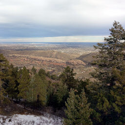
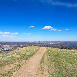
Once at the top of the bluff, take a sharp right to stay on the loop or you'll end at two closed-top water reservoirs. At the fork ahead, go right to take the spur trail to Tepe Overlook. At the end, you'll have the view pictured below with the Denver skyline poking above the horizon. In addition, there is a bench and monument honoring Edward A. Tepe, the former Douglas County planner that was responsible for preserving these bluffs.

The suburban view from Tepe Overlook

The view of the Rockies from the overlook
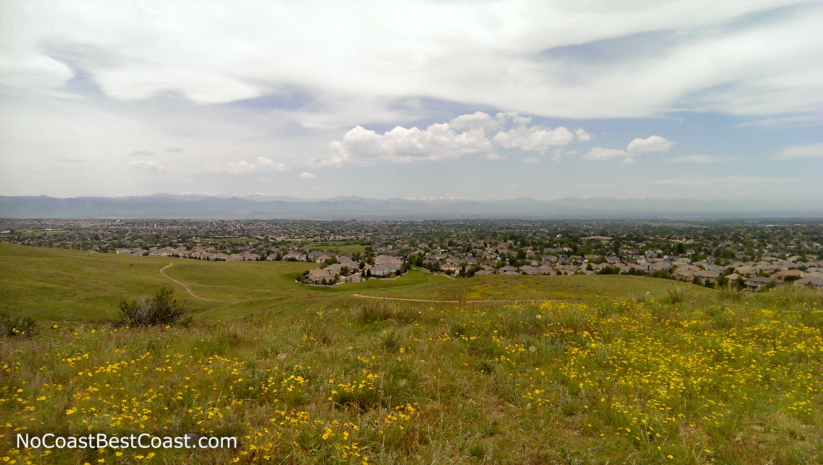
The same view in the summer
This is a great spot for a quick hike when you're looking to enjoy the outdoors on a nice day. Connect with me using the social media links below and share your adventures!
Important Information
Dogs are allowed on leash. This hike is a bit long and hilly to be kid-friendly, but you can shorten the hike to 1.6 miles roundtrip by going to Tepe Overlook and turning back rather than completing the loop. You can hike here in all four seasons, though you should hike early in the morning in the summer to avoid the heat on this shadeless trail. Since the trail is adjacent to a neighborhood, expect there to be people no matter when you go.
Directions
From Denver, take Interstate 25 south. Take the exit for Lincoln Avenue, then turn right. Turn left onto RidgeGate Parkway, then turn right onto Crooked Stick Trail. Turn right into the parking lot.
Google Maps Directions
Parking, Fees, and Facilities
Parking is free! There is a port-a-potty and covered picnic area adjacent to the lot.
Nearby Hikes
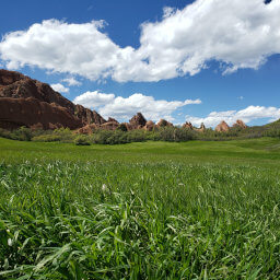
Roxborough State Park, Colorado
★★★★★(5/5)
Roxborough State Park, Colorado
★★★★★(5/5)
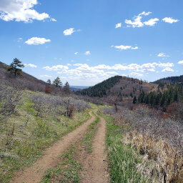
Deer Creek Canyon Park, Colorado
★★★★☆(4/5)
William F. Hayden Park, Colorado
★★★★☆(4/5)